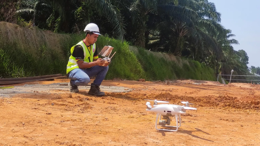
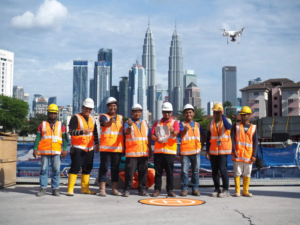
At Gamuda, we pride ourselves on being at the forefront of technological innovation. One of the game-changing technologies we’ve embraced is the use of unmanned aerial vehicle (UAV) or also known as drones, which have become critical and essential tools in many of our projects, including the expansive Rasau Water Treatment Plant with piping and related structures stretching 7.4km (4.6 miles).

Drones have proven invaluable in our approach to surveying. This technology allows our operations team to track and report progress with unprecedented ease and accuracy. The aerial perspective provides a comprehensive view of the site, enabling real-time decision-making that keeps our projects on track and up to standard.
In addition, the aerial data also contributes towards us understanding geospatial information as the data capture is used in our GIS processes.
At a Glance…
- The use of drones or unmanned aerial vehicle (UAV) has cut survey and inspection time by 90% compared to traditional surveying methods
- Our skilled drone operators and managers plan flight paths, flight times, and getting the proper approval for flying
- All data from our drones are stored via AutoDesk Construction Cloud to enable quick and secure access by authorised parties
Since drones were introduced into our surveys in 2012, it has been an welcomed enhancement – our operations team now have regular and reliable high-resolution photogrammetry for progress reports and keeping everything in check.
Mohd Mustaqim Abd Raji
Senior Surveyor
The High Flyers Manning Our Drones

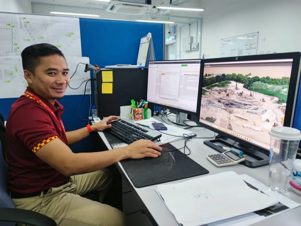
While drones offer incredible capabilities, it’s our skilled team that truly unlocks their potential. We have highly qualified individuals dedicated to the post-processing of drone data, ensuring that the information we gather is accurate, meaningful, and actionable. This involves meticulous calibration, data analysis, and quality checks.
Our team’s competency in digital delivery allows us to transform raw drone data into actionable insights, which are then used to make informed decisions that drive project success. This effective combination of skilled personnel and advanced technology gives Gamuda a unique edge in the construction sector.
LiDAR Drones for Better Visibility
Our technological arsenal includes LiDAR drones, which have been prominently used in our Batang Lupar 2 Bridge project. One of the most significant advantages of using LiDAR drones is their ability to penetrate canopies. This feature allows us to survey and map areas that would otherwise be challenging to access, providing a level of detail unmatched by traditional methods.

In our current large-scale bridge project, We use LiDAR to assess ground level. LiDAR provides a significant advantage as it directly produces point clouds instead of converting the data from multiple images.
Ang Kean Keong
Survey Manager
Our innovative approach to data has yielded tangible benefits to our projects and teams. Drones have become indispensable tools that significantly reduce survey time, enhance data accuracy, and enable seamless collaboration through our integration with Autodesk Construction Cloud.
Supported by a team of skilled professionals proficient in data post-processing and digital delivery, we hope to continue to raise the bar in the construction industry.


