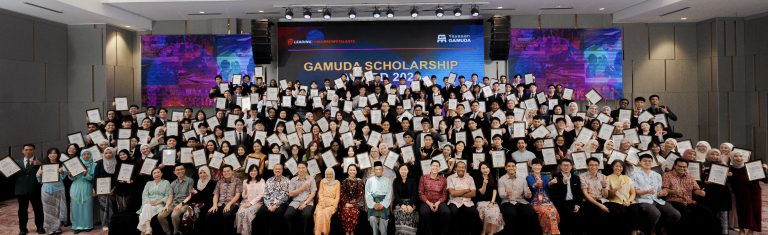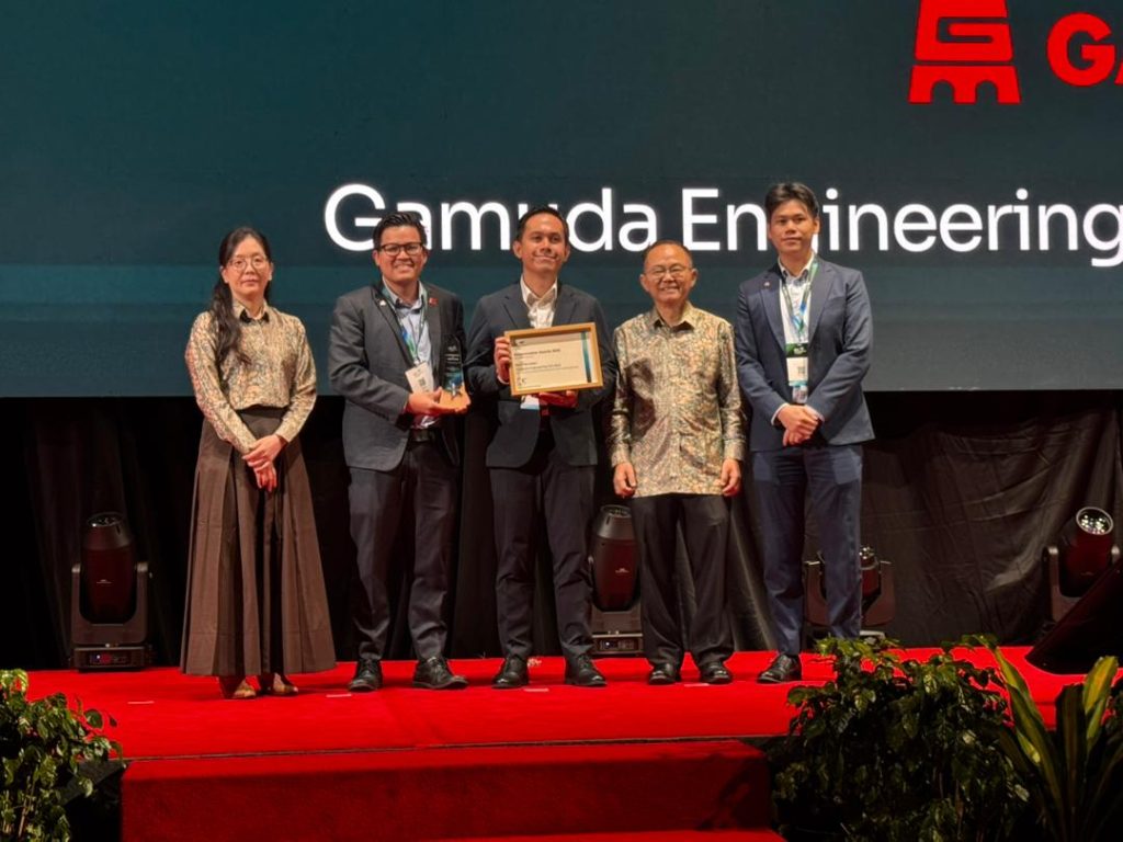
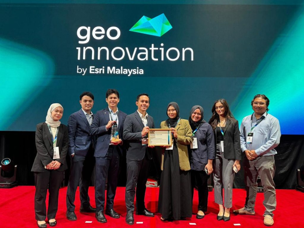
Gamuda’s centralised Geographic Information Systems (GIS) portal was recently recognised with the Rising Star Award at GeoInnovation Malaysia 2025, with the award accepted by John Lim Ji Xiong, Group Chief Digital Officer.
There is a heavy importance placed in by our digital engineering team in the application of Geospatial Information Systems (GIS). As explained by Wan Hamizi Wan Taha, GIS Manager of Gamuda:
By bringing together datasets such as project layouts, environmental constraints, utilities, aerial imagery, and land information, GIS enables projects to visualise complex project information through interactive maps and dashboards.
In large-scale infrastructure projects, vast amounts of geospatial data are generated across various stages, from planning and design to construction. When this data exists in silos, it can hinder coordination, slow decision-making, and increase project risks.
In addressing these challenges, the GIS Portal was developed in-house by our GIS teams and software engineers in Gamuda Excellence Transformation. In this breakthrough, spatial data can be securely accessed and shared across departments and regions, supporting better collaboration and informed decision-making throughout the project lifecycle. This digital capability enhances project planning, improves coordination among stakeholders, and helps drive more efficient and data-driven project delivery.
Gamuda’s GIS Portal is live in our various projects across the region, including Sabah, Penang and Australia.